

Yes, you can ride ATVs in and around Squamish on certain Forest Service Roads (FSRs), managed single-track zones, and mapped valley roads. The three most practical areas are the Squamish Indian Arm FSR (a high-clearance gravel road with steep grades and seasonal snow that can linger into late June), the Cat Lake area (managed single-track loops including Section 57 and Cheshire Cat, with loop options of single-track trails), and the Squamish Valley/Forestry Road corridor accessible via Highway 99. None of these are maintained parks. Loose sharp rock, washouts, gated industrial closures, and limited cell service are the norm, not the exception.
| Route | Character | Key Caution |
|---|---|---|
| Squamish Indian Arm FSR | high-clearance gravel road with steep grades | Snow into late June; industrial gate closures |
| Cat Lake / Section 57 / Cheshire Cat | ~11 km single-track loops, technical climbs | Unsigned trails; FSR crossings; SDBA stewardship required |
| Squamish Valley / Forestry Rd | Valley corridor, mixed surface | Washouts; verify current gate status before departure |
Key takeaways
Squamish ATV trails reward riders who plan ahead: the right tires, a satellite communicator, and a current gate check are non-negotiable before any FSR departure.
| Point | Details |
|---|---|
| Riding season window | Higher-elevation FSRs can hold snow into late June; plan your first ride for July to be safe. |
| Vehicle and gear minimums | High-clearance ATV, quality tires, spare tire, recovery straps, and extra fuel are required. |
| Trail etiquette | Follow SDBA and Squamish Trails Society guidance: yield, stay on marked lines, and buy a membership. |
| Verify before you go | Check gate and closure status on onX Offroad and cross-reference Wikiloc traces with club updates. |
| Local dealer support | Dirtybirdypowersports in Squamish stocks trail-ready tires, accessories, and CFMOTO machines at MSRP. |
Table of Contents
- What permits and legal requirements apply to ATV riding in Squamish?
- How to ride responsibly and protect Squamish’s trails
- Why Squamish rewards riders who prepare properly
- Gear up at Dirtybirdypowersports before you hit the FSR
- Where to verify conditions and download GPS routes
- Sources
What permits and legal requirements apply to ATV riding in Squamish?
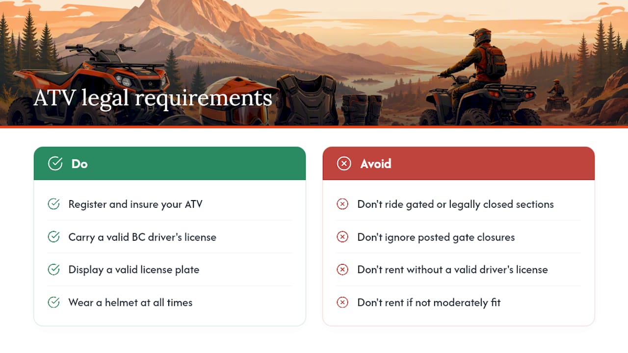
In British Columbia, ATVs operated on public land, including FSRs, must be registered and insured under the Motor Vehicle Act and comply with the Off-Road Vehicle Act. Riders need a valid BC driver’s license (or equivalent), and the ATV must display a valid license plate. Helmets are mandatory for all riders. FSRs are public roads managed by the BC Ministry of Forests, so no separate trail permit is required to ride them, but riders must obey any posted gate closures, industrial-use restrictions, and seasonal access notices. Some sections near active logging operations are gated and legally closed to recreational traffic when industrial work is underway. Always check current gate status through onX Offroad or local club pages before you leave.
Self-guided ATV rentals in the area typically require a valid driver’s license and moderate physical fitness, since routes include gravel, loose rocks, and steep inclines.
How to ride responsibly and protect Squamish’s trails
The Squamish Trails Society notes that many Cat Lake trails are unsigned, and the SDBA stewards the network north and east of the lake. Cooperation between hikers, mountain bikers, and motorized users is what keeps motorized access open. Practically, that means:
- Stay on marked lines. Avoid widening or braiding trails. A single eroded bypass can trigger access restrictions for everyone.
- Yield to non-motorized users. Stop your engine when passing hikers; slow to a crawl near cyclists.
- Pack out everything. No dumping fluids, no cutting new lines through vegetation.
- Support the SDBA. Membership fees fund parking, signage, and trail work on roughly 35 kilometres of managed trail near Cat Lake and Lava Flow. Display your membership sticker.
The SORCA Cat Lake page describes Section 57 as an intermediate multi-directional climb and Cheshire Cat as a flowy blue descent with wood features. Both trails see mixed-use traffic, so timing and speed matter.
Why Squamish rewards riders who prepare properly
Squamish offers terrain you genuinely cannot replicate elsewhere in the Sea-to-Sky corridor: glacier-carved valleys, old-growth corridors, and technical FSR grades that test both machine and rider. But it is not managed for your convenience. The SDBA, Squamish Trails Society, and SORCA are volunteer-run organizations whose membership revenue directly determines whether gates stay open and trails stay rideable. Joining costs little; losing access costs everything.
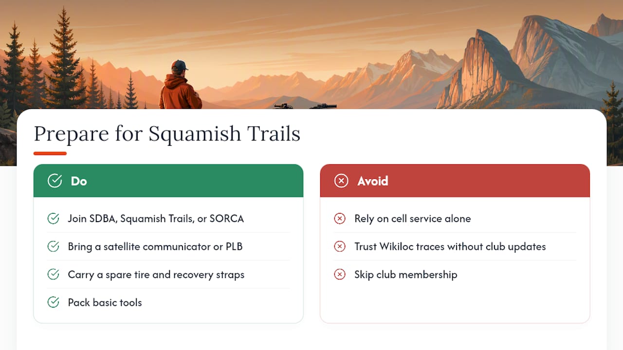
Cell service disappears fast once you leave Highway 99. Bring a satellite communicator or personal locator beacon, not just a phone. Carry a spare tire, recovery straps, and basic tools. User GPS traces on Wikiloc are genuinely useful for waypoints and time-of-year photos, but cross-check every trace against current club updates before committing to a route. Conditions change between seasons and sometimes between weeks.
Gear up at Dirtybirdypowersports before you hit the FSR
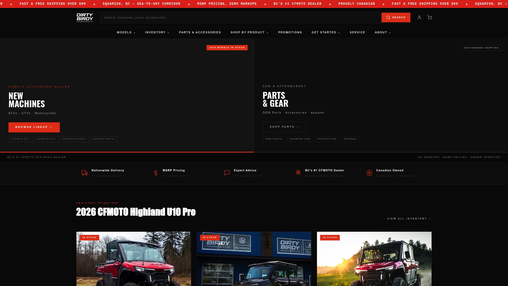
Squamish FSRs punish soft tires fast. Before your ride, Dirtybirdypowersports stocks Braven Hellhound Uber XOR radials built for loose rock and steep climbs, and Braven Bloodaxe R/T hybrid radials for mixed-surface days. The team at Dirtybirdypowersports rides these trails and can match you to the right tire, suspension upgrade, or recovery accessory for your specific machine. CFMOTO ATVs and UTVs are sold at MSRP with no markup, and nationwide delivery is available across Canada. Stop in or order online to get your rig ready before the snow clears.
Where to verify conditions and download GPS routes
- onX Offroad: FSR road type, difficulty ratings, gate status, and construction notices for Squamish Indian Arm and surrounding roads.
- Squamish Trails Society: Cat Lake trail updates, access rules, and stewardship news.
- SORCA: Trail character details for Cat Lake single-track, including Section 57 and Cheshire Cat.
- SDBA via Motorcycle Mojo: Membership info, family-friendly riding culture, and managed trail network details.
- Wikiloc Garibaldi offroading traces: User-recorded GPS tracks for Squamish Valley and Forestry Rd routes. Cross-check with club updates before relying on any single trace.
- Dirtybirdypowersports: Local Squamish dealer for parts, tires, accessories, and trip-prep advice from riders who know the terrain.
- End-of-life ATV disposal: If a hard Squamish season leaves your machine beyond repair, scrap ATV options are available across Canada.
Sources
- Squamish Indian Arm FSR | Off-Road Trail Maps, Difficulty, Trail Status | onX Offroad
- Cat Lake — Squamish Trails Society | Non-profit | Volunteer run | Squamish BC
- Cat Lake | Squamish Off-Road Cycling Association
- Wikiloc — Garibaldi offroading trails list